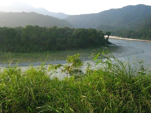
The debate how to allocate natural resources still raging, the northeastern states face more challenges—challenges posed by big dams and river linking. While the Union Government has turned its eyes to this most resource-rich landscape but largely untapped region in the country, communities now find themselves in a quandary. Communities want recognition of their ownership over coal, forests and oil--the three ‘nationalized’ resources. Now there is another entrant---water. Tribal communities in Nagaland and Meghalaya are approaching courts to protect their rights over oil and coal and those in Mizoram, Manipur and Arunachal Pradesh are struggling to retain control over their forests. In Assam, the protests are over big dams and the river interlinking.
The Indian Rivers Inter-link is a proposed large-scale project that aims to link India’s rivers by a network of reservoirs and canals so as to reduce persistent floods in some parts of the country while water shortages in other parts. Proponents of the rivers inter-linking projects claim the answers to India's water problem is to conserve the abundant monsoon water bounty, store it in reservoirs, and deliver this water - using rivers inter-linking project - to areas and over times when water becomes scarce.
A former irrigation minister K L Rao, in the 1970s suggested that the Brahmaputra and Ganga basins being water surplus areas, that surplus water be diverted to areas of deficit in central and south India. When he made the proposal, there were already several inter-basin transfer projects under implementation. In 1980, India’s Ministry of Water Resources came out with a report entitled “National Perspectives for Water Resources Development” that split the water development project in two parts – the Himalayan and Peninsular components. The river inter-linking idea was revived in 1999 with a major strategic shift. The proposal was modified to intra -basin development as opposed to inter-basin water transfer.
In February 2012, while disposing a Public Interest Litigation (PIL) lodged in the year 2002, Supreme Court refused to give any direction for implementation of Rivers Interlinking Project. The Apex Court stated that it involves policy decisions which are part of legislative competence of state and central governments. However, the Court directed the Ministry of Water Resources to constitute an experts committee to pursue the matter with the governments as no party had pleaded against the implementation of Rivers Interlinking Project.
India’s Water Resources Minister Uma Bharti, while addressing the parliamentary consultative committee meeting has called for fast track measures to achieve the goal of inter-linking of rivers (ILR) in the country. She informed the members of the committee that the National Water Development Agency (NWDA) has identified 30 links, 16 under Peninsular Component and 14 under Himalayan Component for preparation of Feasibility Reports.
Fourteen (14) inter-links under consideration for Himalayan component are as follows, with feasibility study status identified:
- Ghaghara -Yamuna link (Feasibility study complete)
- Sarda-Yamuna link (Feasibility study complete)
- Yamuna-Rajasthan link (Feasibility study complete)
- Rajasthan-Sabarmati link (Feasibility study complete)
- Kosi- Ghaghara link
- Kosi-Mechi link
- Manas-Sankosh-Tista - Ganga link
- Jogighopa-Tista-Farakka link
- Ganga-Damodar-Subernarekha link (Feasibility study complete)
- Subernarekha-Mahanadi link (Feasibility study complete)
- Farakka-Sunderbans link (Feasibility study complete)
- Gandak-Ganga link (Feasibility study complete)
- Chunar- Sone Barrage link (Feasibility study complete)
- Sone dam-Southern tributaries of Ganga link
The Himalayan component would consist of a series of dams built along the Ganga and Brahmaputra, Nepal and Bhutan for the purposes of storage. Reservoirs will be built in principal tributaries in India and Nepal along with inter-linking canal system to transfer surplus flows of the eastern tributaries of the Ganga to the West apart from linking of the main Brahmaputra with the Ganga. Apart from providing irrigation to an additional area of about 22 million hectares the generation of about 30 million kilowatt of hydro-power, it will provide substantial flood control in the Ganga-Brahmaputra basin. The project will benefit not only the states in the Ganga-Brahmaputra Basin, but also Nepal and Bangladesh, assuming river flow management treaties are successfully negotiated, it is expected.
That Nepal and Bhutan will be gaining from this project is evident when Prime Minister Narendra Modi mentions the two countries in his address at Itanagar during the 29th Statehood Day celebration of Arunachal Pradesh yesterday. He said that both the countries’ economy will get a major boost with the production of energy. Canals would be built to transfer surplus water from the eastern tributaries of the Ganga to the west. The project is expected to contribute to flood control measures in the Ganga and Brahmaputra river basins and offer water security. Further, the project is also seen to offer potential benefits to transport infrastructure through navigation, as well as to broadening income sources in rural areas through fish farming.
While feasibility reports of 14 links of peninsular component and two links (Indian portion) of Himalayan component have been prepared. Surveys and investigation in respect of seven other links is also complete and their draft feasibility reports have been compiled.
However, there still remains a consensus to develop among the states. While the Southern states are pitching for the inter-linking of rivers, the northeastern states are strongly protesting the project. The northeastern states are concerned over the environmental, ecological, social displacement impacts.
The Union Water Resources Minister also said that the ILR would give additional benefits of 35 million hectare of irrigation (25 million hectare of irrigation from surface waters and 10 million hectare by increased use of ground waters) raising the ultimate irrigation potential from 140 million hectare to 175 million hectare and generation of 34000 MW of power, apart from the benefits of flood control, navigation, water supply, fisheries, salinity and pollution control etc. However, the Minister did not seem to take into consideration how these projects will displace millions of people, submerge millions of hectares of natural forests in a country where we are already fighting with high rate of deforestation, will contribute to more GHG emissions, create more floods, lead to death of many rivers, and many more related woes.
Each river is an ecological entity and tampering with her ecology would invite further disasters and dying down of several rivers.
Situated at the foothills of the Himalayas, the northeastern region enjoys an altogether different climate zone. The variant landforms—mountains, hills, floodplains, valleys that carry a few major Himalayan rivers and their tributaries sustain a wide range of vegetation and floral and faunal composition. The Brahmaputra valley is fed by the Brahmaputra, dominated by the Brahmaputra and kept alive by the Brahmaputra. At least 300,000 hectares of water bodies supply 216 species of fish. Not less than 500,000 people are actively engaged in fishery.
Brahmaputra is the only river in the world which receives more than 30 tributaries throughout its course. These tributaries transform the Brahmaputra into much bigger size towards its downstream.
In the recent years the drying up of this mighty river and its tributaries during the dry spell created much apprehension in the entire Brahmaputra valley as millions of people are dependent on the river. Noteworthy to mention, the river and its tributaries also feed thousands of wetlands, streams and rivulets in the entire valley.
The Brahmaputra is a highly active river in a geo-dynamically potent area known for its biological and cultural diversity in the Eastern Himalayan region. A European Commission-sponsored project earlier showed the Brahmaputra discharge at risk of 15 per cent to 25 per cent reduction by the end of this century. The project that studied the monsoon discharge and base flow of the river concludes that while most of the monsoon discharge of the river is generated from the precipitation taking place in the northeastern Indian basin of the river, the base flow of the river is dependent on the glacial melt at the source. Hence in the event of climate-change –induced glacial melt, the flow scenario is at risk. These symptoms are already evident in the Brahmaputra. While India and China have a MoU on sharing hydrological data of the Brahmaputra during the monsoon period, the flow data of the lean period in the upstream reaches is still not available. Hence, it is expected of the policymakers that all these factors should be taken into account before embarking on the ambitious project of river-interlinking that may eventually lead to catastrophic impacts on the environment and affect the lives of millions of people.


Comments
Damming the river displaced
Pages
Add new comment